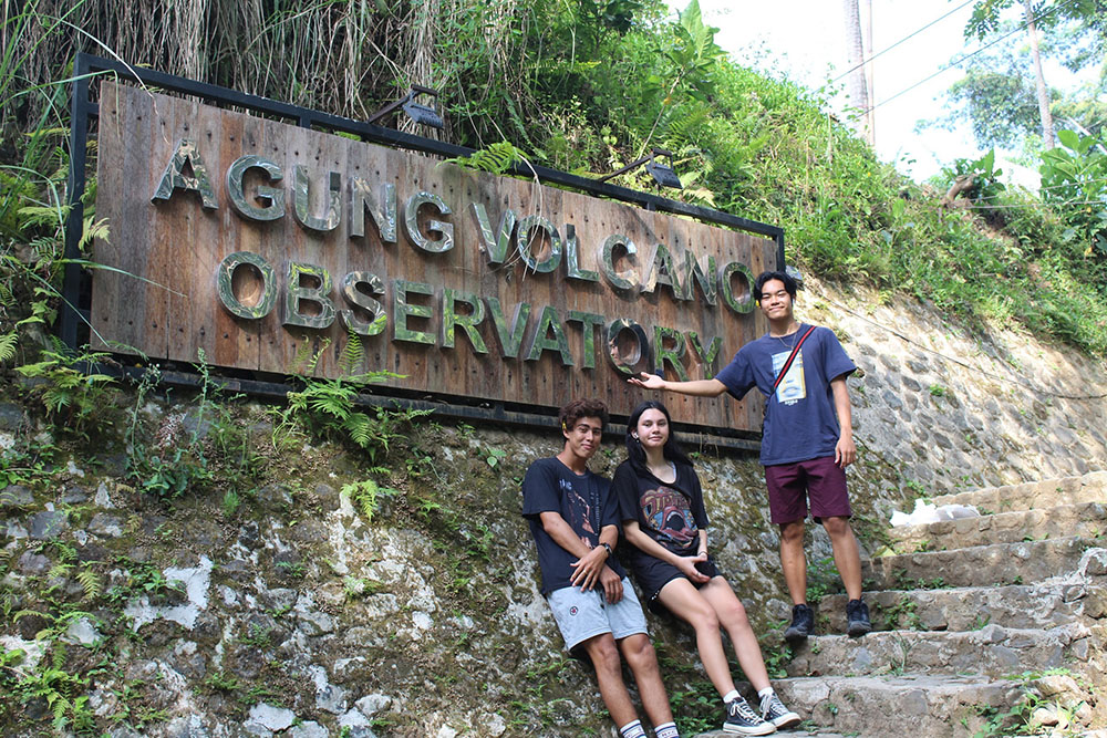
On 10-11 November, the Class 12 Geography students and Pak Philis set off on a journey which rounded two out of the three volcanoes that make up this wonderful island: Gunung Agung and Gunung Batur. We visited many different cultural and physical attractions, such as the Wisata Kali Undi (a large river which experienced a cold lahar during the 2017 eruption of Mt. Agung), Pura Besakih, Bali’s official volcanic monitoring station located in Desa Rendang, and the 1926 lava deposits located in the crater of Mount Batur.
Even though it was a short trip, it will be a hard one to forget. At each location, there were pleasant surprises, and we were able to see, close up, what most A’ level students around the world only get to see in textbooks. One particularly memorable moment was being allowed to enter the official monitoring station for Mount Agung, and getting to interview the scientist on duty. He was able to explain to us how they use different apparatus such as tiltmeters, GPS and drones to predict whether or not the volcano will erupt and to what extent. Particularly helpful for us as we have an essay on such methods due next week! They also gave us some resources that we can use in class.
Living in Bali gives us a perfect place to investigate the effects of the past eruptions of Mount Agung and Batur on the surrounding villages and the greater areas of Bali and the world. With this student organised trip, we realise that Bali itself – like all other places – is full of geography and that we don’t actually need to go far nor spend a long time in order to learn something new. The trip was fantastic, hugely beneficial to our course and has brought us even closer as a group!

